High Arctic Expedition Cruise
- Upcoming Departures:
- Aug 31 - Sep 14, 2027
- Aug 9 - 22, 2028
- Sep 3 - 16, 2028
Highlights
Highlights
- Journey north through Smith Sound and Kane Basin, reaching toward some of the highest latitudes of the High Arctic as ice and weather allow.
- Travel through Inuit homelands in Kalaallit Nunaat and Nunavut, learning from Inuit guides with deep knowledge of the land, sea, wildlife, and communities.
- Experience the Arctic firsthand, moving beyond paintings, photographs, and stories through a special partnership with the McMichael Canadian Art Collection.
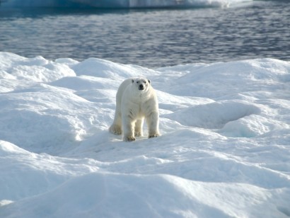
- Explore Sarvarjuaq, part of Pikialasorsuaq, one of the Arctic’s richest marine ecosystems and important habitat for seabirds, whales, walrus, seals, and polar bears.
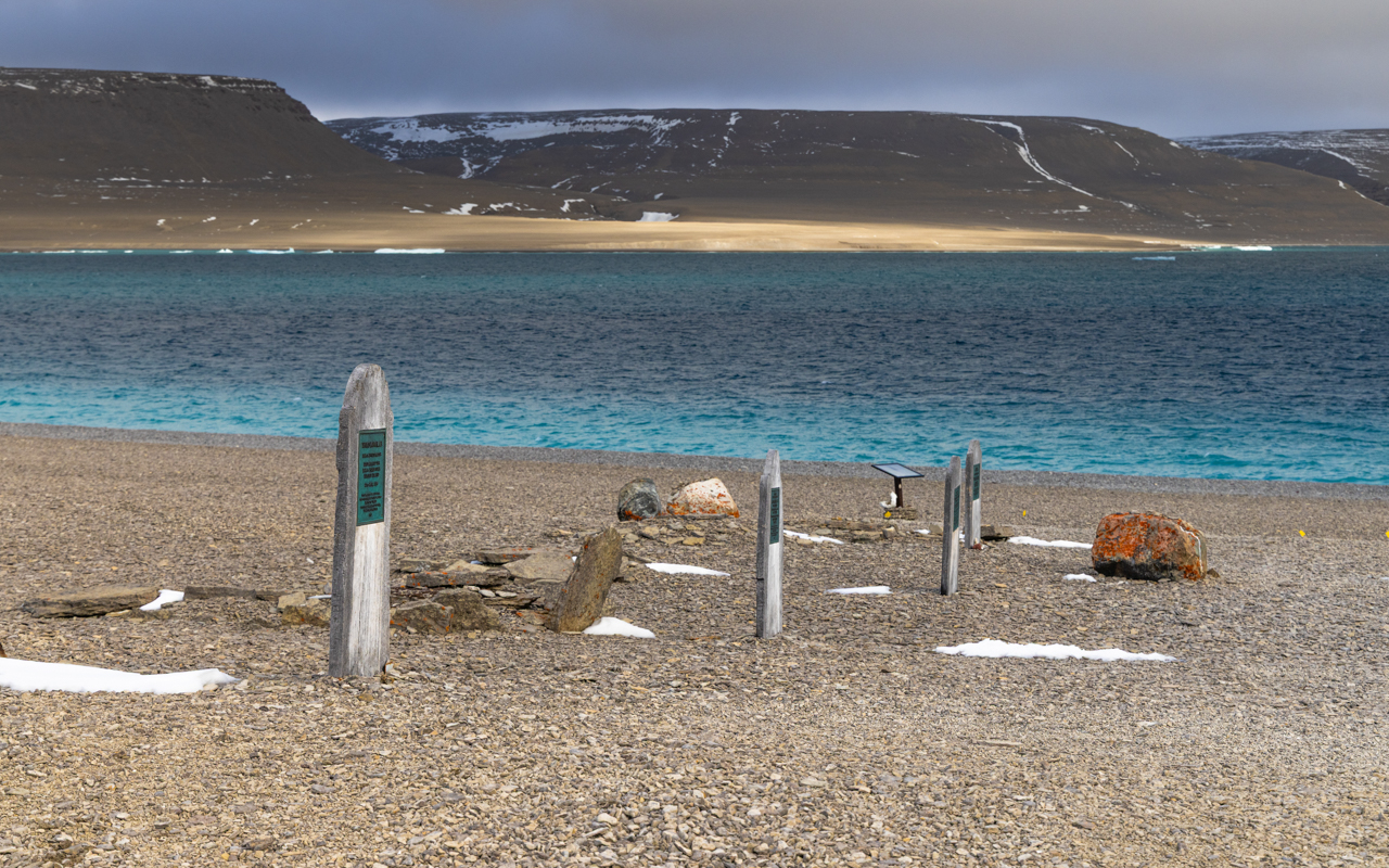
- Visit Beechey Island and see the graves, cairns, and camp remains connected to the Franklin expedition and one of the most enduring mysteries of Arctic exploration.
Map
Map
Overview
Tour Overview
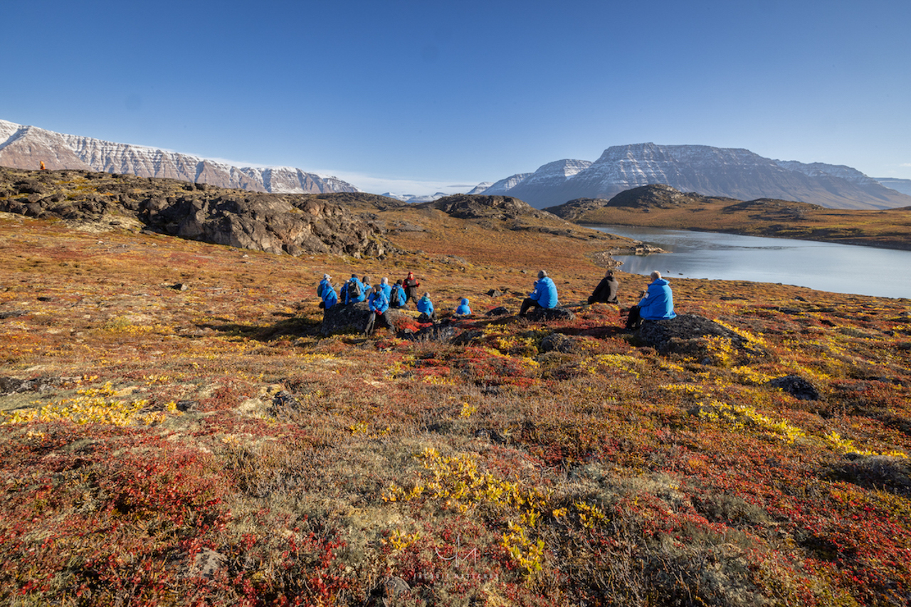
Travel through Greenland and the Canadian High Arctic, where mountains rise directly from narrow fjords, glaciers reach the sea, and shifting ice changes the landscape from day to day. As we move north, we will experience the scale, light, and constantly changing conditions that have drawn travellers, artists, and scientists to the Arctic for generations.
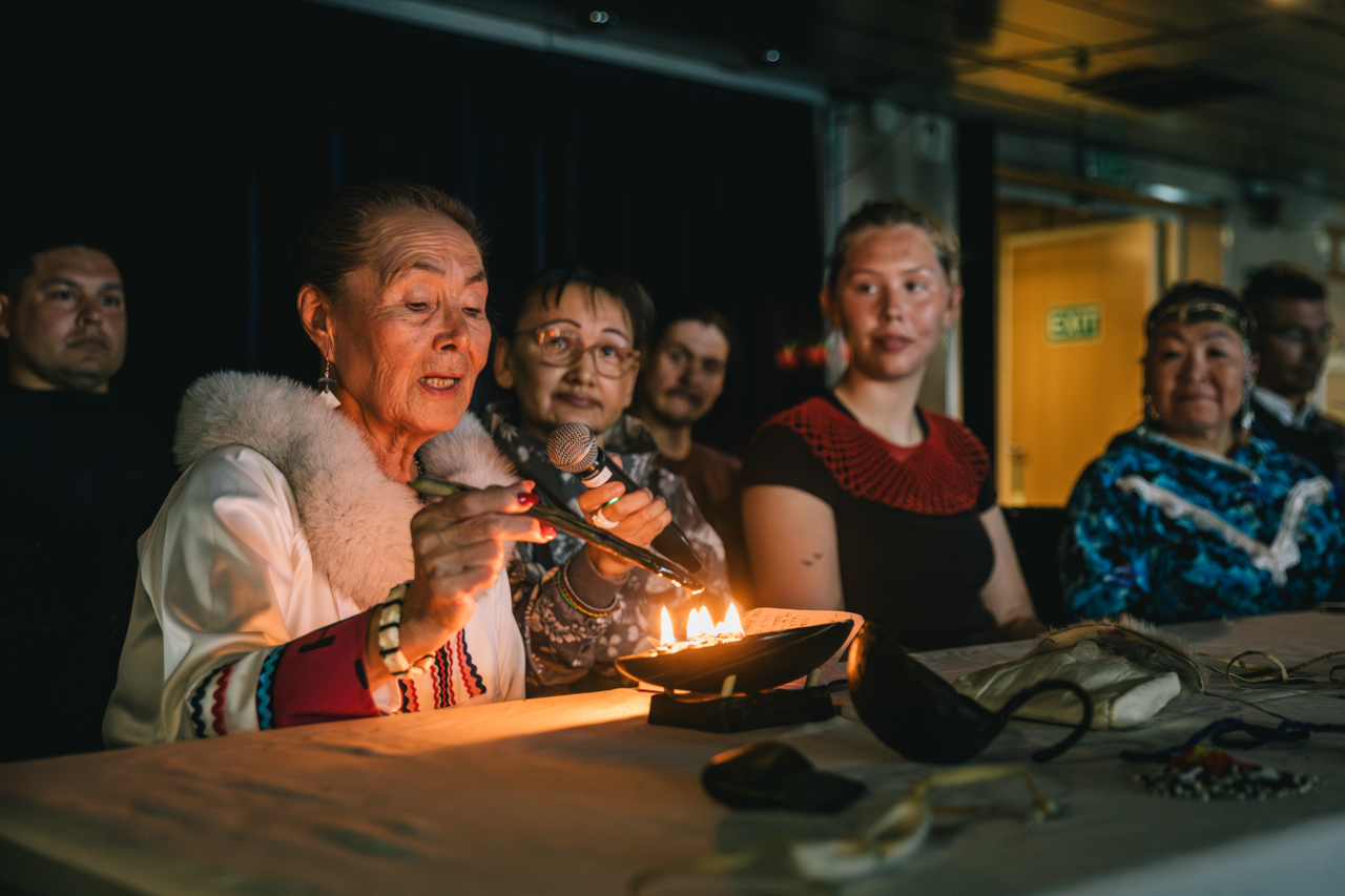
This is also an Inuit homeland, shaped by long-standing connections to the land, sea, wildlife, and seasonal travel routes. We will learn from Inuit artists and cultural voices about these relationships, and about the ways knowledge, history, and creativity are carried through generations.
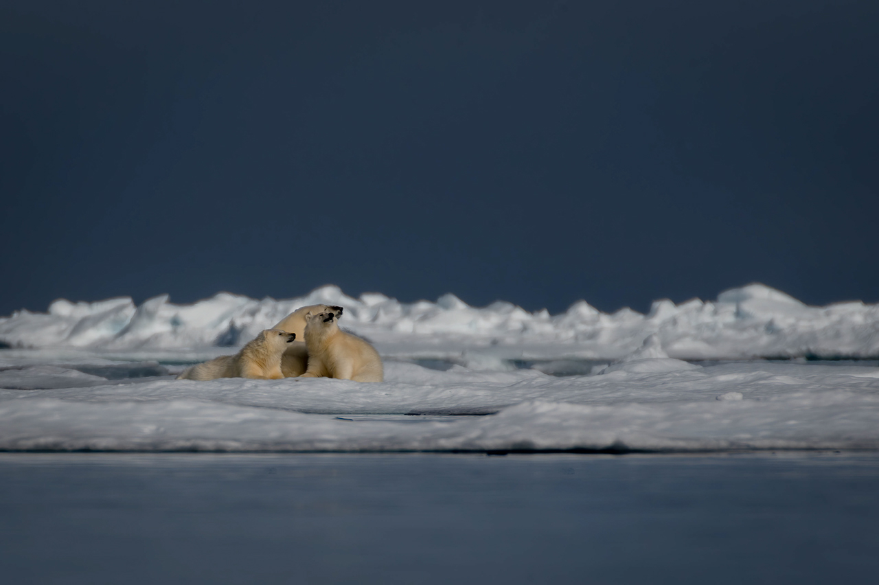
Wildlife is closely tied to these same landscapes and waters. Whales, walrus, polar bears, seals, and seabirds depend on productive marine ecosystems throughout the region. Travelling through these areas gives us a better understanding of how ice, ocean, wildlife, and people are all connected.
Art provides another way to explore the North. A.Y. Jackson, Frederick Banting, and Lawren Harris were among the artists whose northern journeys influenced how many people in southern Canada came to imagine the Arctic. In partnership with the McMichael Canadian Art Collection, we will consider that artistic legacy alongside Inuit knowledge, contemporary creativity, natural history, and our own experience of the places we visit.
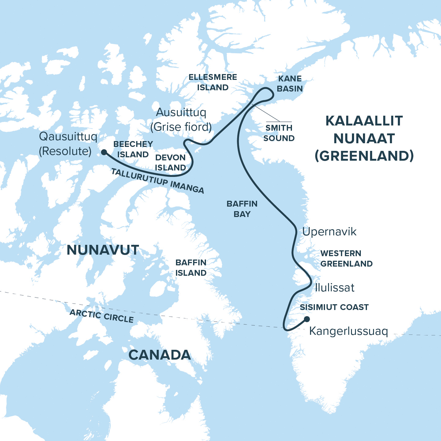
From Greenland’s glacier-carved coast through Smith Sound and Kane Basin to Ellesmere Island, Tallurutiup Imanga, and Devon Island, this expedition brings together dramatic scenery, wildlife, culture, and art. By experiencing these places firsthand, we gain a deeper understanding of the High Arctic as a living, inhabited, and constantly changing region.
Departures & Cabins
Departures & Cabins
Deck Plan
What's Included
Tour Price Includes
- Passage aboard the Ocean Nova
- Applicable taxes and credit card fees
- Complimentary expedition jacket
- Special access permits, entry, and park fees
- Expert expedition team
- Guided activities
- Sightseeing and community visits
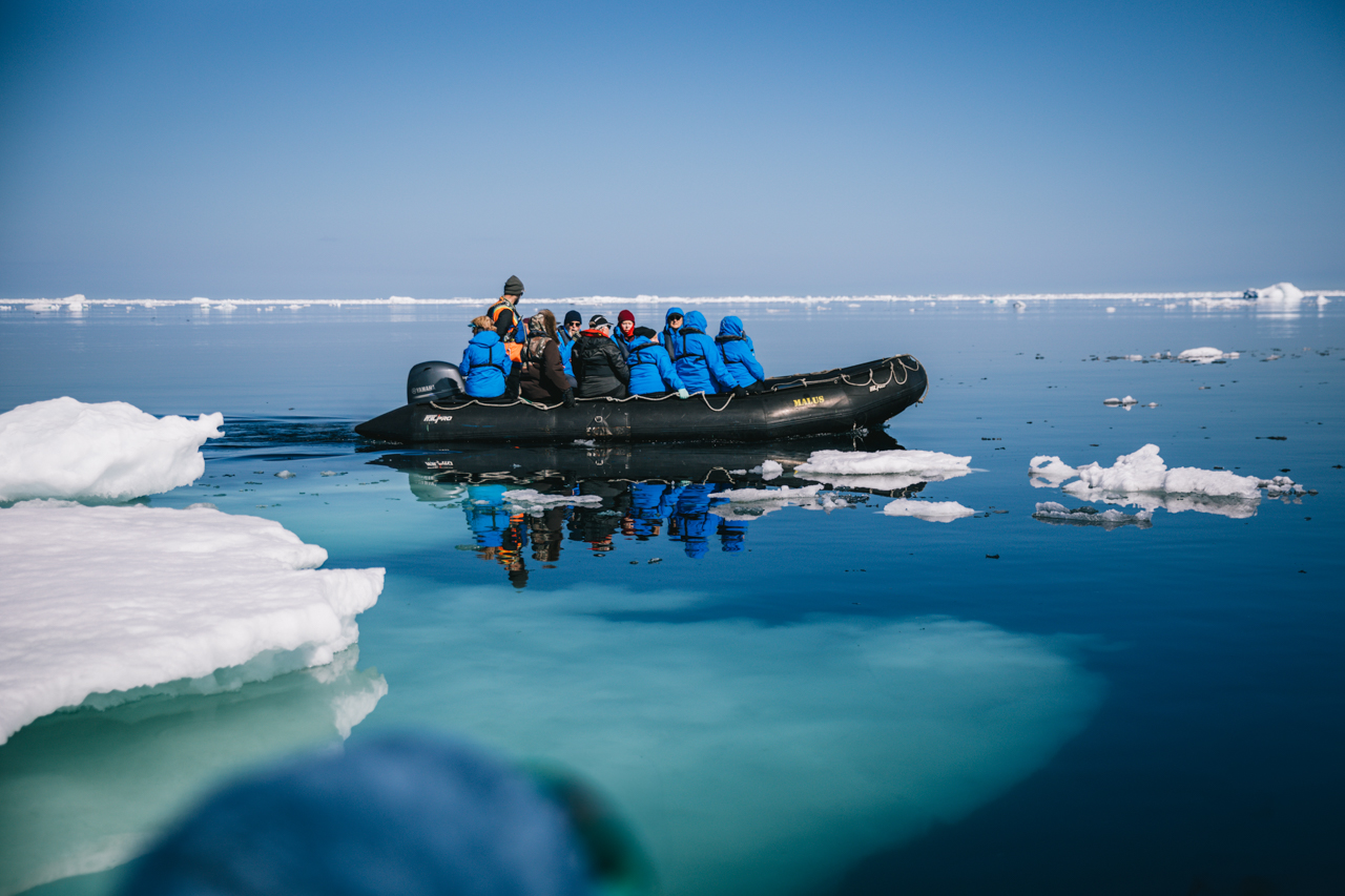
- All Zodiac excursions
- Port fees
- Pre-departure materials
- Educational program
- Interactive workshops
- Evening entertainment
- All shipboard meals
- Wi-Fi access (basic service included)
Tour Price Does Not Include
- Commercial and charter flights
- Program enhancements/optional excursions
- Gratuities
- Personal expenses
- Mandatory medical evacuation insurance
- Additional expenses in the event of delays or itinerary changes
- Possible fuel surcharges and administrative fees
- Pre- and post-trip hotel accommodation
- Premium internet access available at an additional cost
Gallery
Gallery


Itinerary
Day 1: Qausuittuq (Resolute), NU, Canada
Arrive by charter flight from Ottawa and step into Qausuittuq, set on gravel flats and moraine beneath the glow of continuous summer light. The community’s history of relocation in 1953 intertwines with its present role as a hub for Arctic research and travel. As you prepare to embark aboard the Ocean Nova, take time to orient yourself to the stories and landscapes that shape this place.

Day 2: Beechey Island
Beechey Island holds one of the most tangible chapters in the Franklin mystery. HMS Erebus and HMS Terror spent the winter of 1845–46 here before sailing south and disappearing. The graves of three crew members, remains of the winter camp, stone cairns, and traces left by later search expeditions still mark its narrow, windswept shore.
Protected as part of Beechey Island Sites National Historic Site, these remains capture the expedition at the threshold of mystery. The island later became a base for the vast search effort that helped map much of the Canadian Arctic Archipelago.

Days 3: Tallurutiup Imanga (Lancaster Sound) & Devon Island
Sail through Tallurutiup Imanga, one of Canada’s largest marine protected areas, alive with whales, seals, and seabirds. Beneath towering cliffs and drifting ice, the sea glimmers with shifting light. Step ashore on Devon Island, the world’s largest uninhabited island, where glaciers meet the sea and tundra unfolds in broad, glacial valleys. Here, light and silence create their own compositions, inviting stillness, reflection, and a deep sense of the Arctic’s living beauty.

Day 4: Ausuittuq (Grise Fiord)
Set between the mountains of southern Ellesmere Island and the waters of Jones Sound, Ausuittuq (Grise Fiord) is Canada’s northernmost civilian community. Its Inuktitut name means “the place that never thaws,” a reference to the enduring ice above the community.
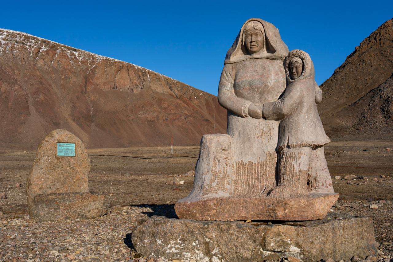
Ausuittuq was established through the High Arctic Relocations of 1953 and 1955, when the Canadian government moved Inuit families from Inukjuak and Mittimatalik, in part to reinforce Canadian sovereignty. The hardship and injustice of that history remain part of the community’s story, commemorated by a monument overlooking the shore. Today, family, language, harvesting, and community life give this small and remarkable Inuit hamlet its enduring character.

Days 5: Ellesmere Island
Explore the rugged coastline of Ellesmere, Canada’s northernmost island. Towering mountains, vast ice caps, and deep ords define a landscape of extraordinary scale. Here, the High Arctic exceeds the images that first inspired us, revealing a world more intricate, dynamic, and alive than any single representation can capture.

Day 6: Kane Basin
Sail into Kane Basin, where Ellesmere Island and Greenland nearly meet. Glaciers tower above drifting sea ice, and the shifting Arctic light continually transforms the passage. Long travelled by Inuit, these waters later became a route for expeditions seeking both the lost Franklin expedition and a way to the North Pole. The basin bears the name of American explorer Elisha Kent Kane, who crossed it in 1854 during his search for Franklin.
Days 7-8: Smith Sound
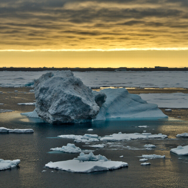
Venture through Smith Sound, the dramatic channel connecting Baffin Bay with Kane Basin and part of the greater Pikialasorsuaq region. Pikialasorsuaq means “great upwelling” in Kalaallisut and is known in Nunavut as Sarvarjuaq.
Recurring open water within the surrounding sea ice makes this the Arctic’s largest polynya and one of the most biologically productive regions north of the Arctic Circle. Nutrient-rich waters sustain an extraordinary abundance of life, drawing whales, seals, and millions of seabirds to this vital Arctic ecosystem.

Day 9: At Sea
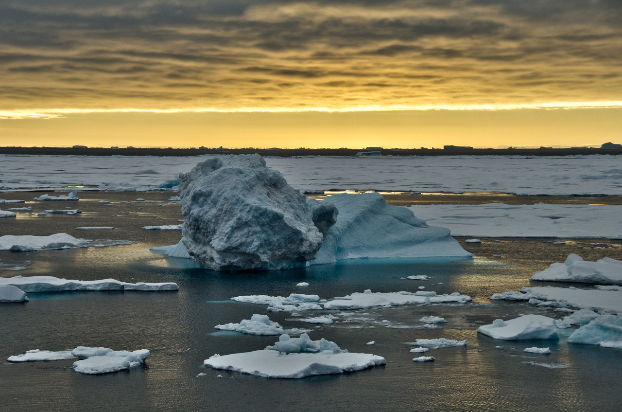
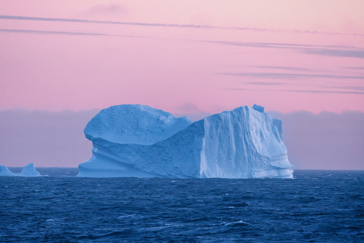
From Smith Sound, follow Greenland’s coast south through waters shaped by ice, current, and weather. Icebergs drift past in an ever-changing procession, while distant mountains, seabirds, and the possibility of marine wildlife keep attention fixed beyond the decks.
A day aboard creates time to look more closely at the region unfolding around us. Presentations, workshops, and informal conversations with educators explore the wildlife, geography, history, and living cultures of the High Arctic. Between sessions, the decks and observation spaces invite shared discoveries as the journey continues south.
Day 10: Upernavik, Greenland
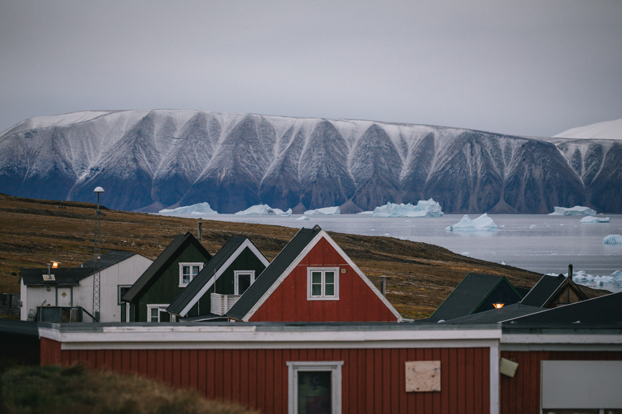
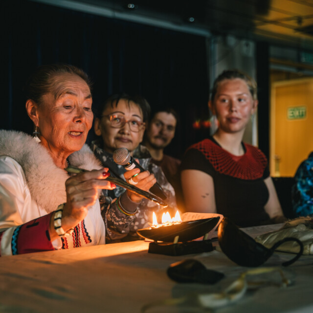
Greenland’s coast breaks apart here into a vast maze of islands, narrow channels, and drifting ice. Upernavik, meaning “the springtime place,” rises from this intricate seascape in a bright sweep of colourful houses and a working harbour.
Fishing and hunting remain central to life across the archipelago, connecting Upernavik with the smaller communities scattered along the coast. Its historic quarter forms the world’s northernmost open-air museum, preserving the church, trading buildings, boats, and tools of an earlier era. Surrounded by rock, sea, and ice, Upernavik reveals the remarkable character of life along Greenland’s northern coast.

Day 11: Western Greenland
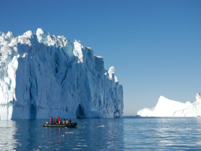
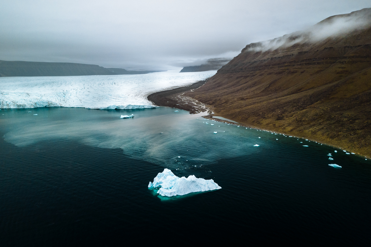
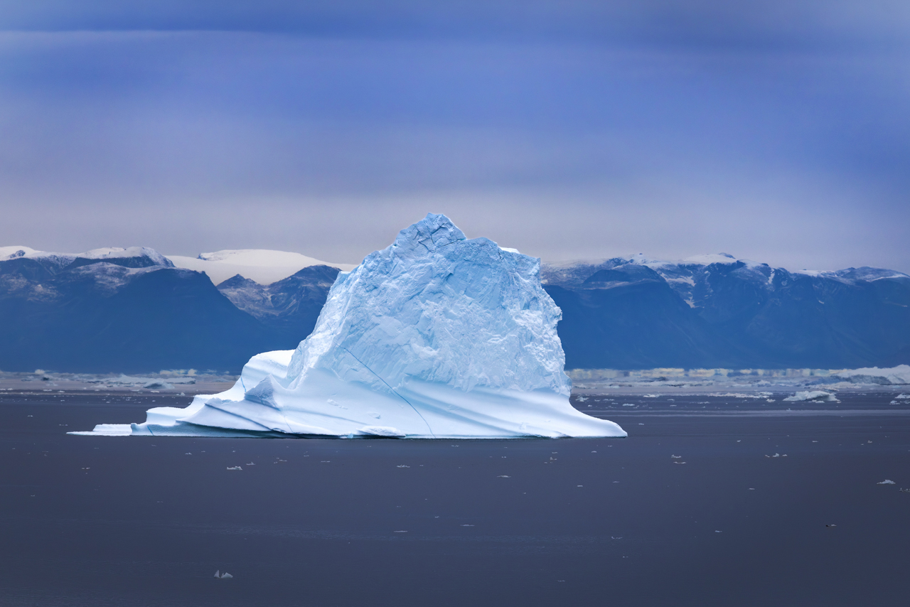
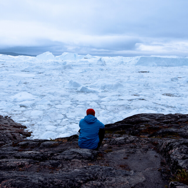
Sail among towering glaciers and drifting bergs, each one a shifting sculpture in white and blue. Fjords echo with the sound of calving ice, and mountains rise sheer above waters crowded with floes. The scale and geometry here—immense, elemental, ever-changing—recall the stark forms the Group of Seven once sought to capture in paint.
Day 12: Ilulissat
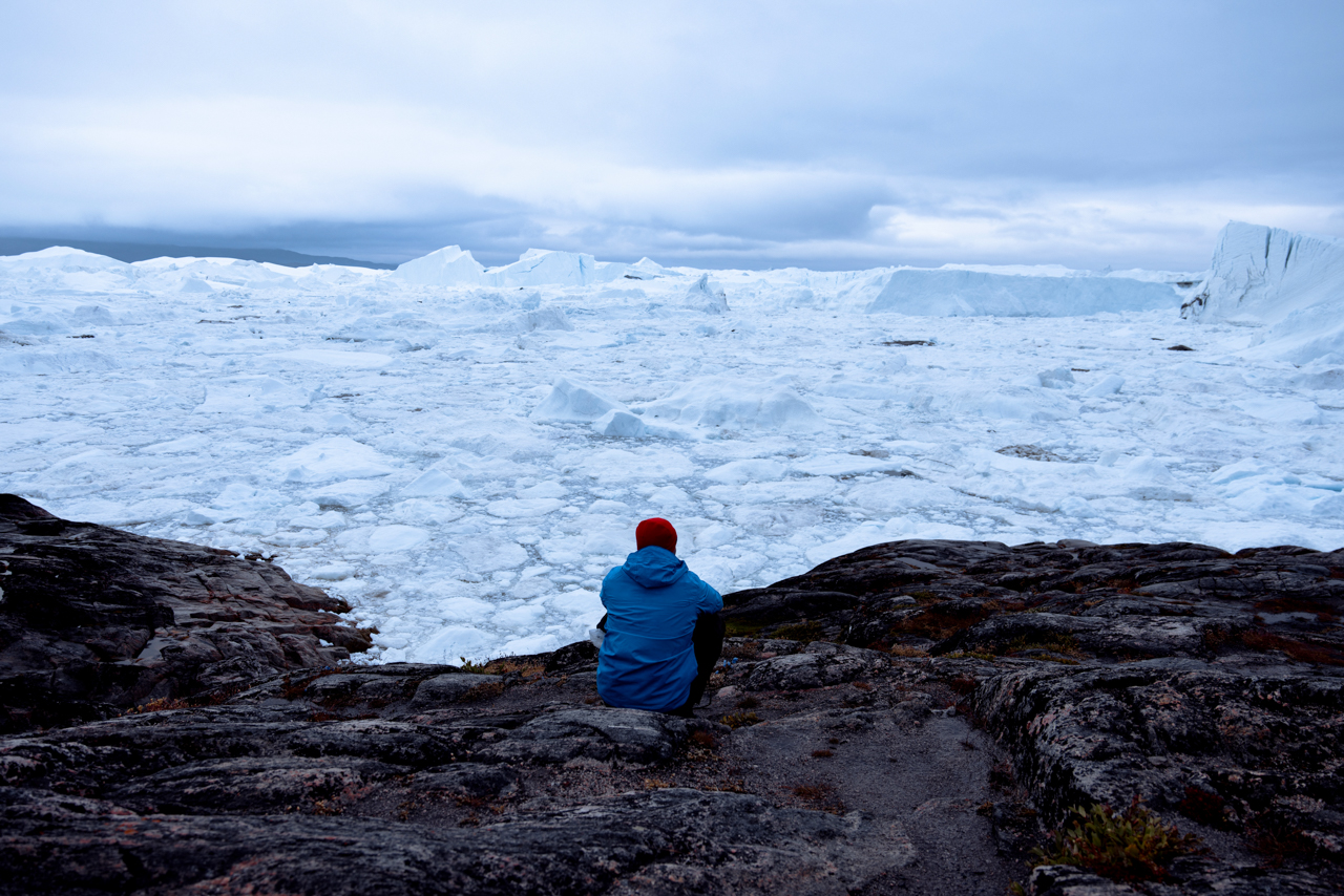
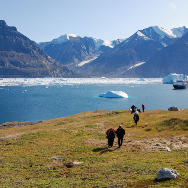
Ilulissat means “icebergs,” a fitting name for a city beside one of the world’s great moving ice systems. At the head of the UNESCO-listed Ilulissat Iceord, Sermeq Kujalleq ranks among the fastest and most active glaciers on Earth. Its immense icebergs travel slowly through the ord before entering Disko Bay, continually transforming the seascape.
The iceord has shaped human life here for more than four thousand years. That relationship continues in contemporary Ilulissat, a lively Greenlandic city where fishing boats crowd the harbour and the streets bustle with residents and travellers. Restaurants showcase Greenlandic ingredients, while cafés, shops, and the striking Ilulissat Iceord Centre reflect the city’s growing cultural and creative energy.
Here, deep human history, vibrant city life, and constant environmental change come together at the edge of the ice.
Day 13: Sisimiut Coast
Cruise along the dramatic Sisimiut coast, where mountains rise sharply from the sea and small settlements cling to the shoreline. This region reflects Greenland’s seafaring traditions, with communities deeply tied to land and water. As you sail, the shifting light across jagged peaks creates endless new scenes—each one a masterpiece of Arctic colour and form.

Day 14: Kangerlussuaq, Greenland
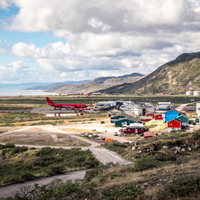
Overnight, the journey continues through the long reaches of Kangerlussuaq Fjord, whose Kalaallisut name means “big ord.” Conditions permitting, portions of this dramatic passage may come into view as the waterway extends inland between rounded mountains and slopes shaped by glacial sediment.
At its head lies Kangerlussuaq, an unusual inland community established around an American airbase built during the Second World War. Its sheltered location is known for comparatively stable flying conditions, one reason the site was selected for the airbase and later became Greenland’s principal aviation gateway for decades. That same geographic advantage makes Kangerlussuaq particularly well suited to the transition between ship and charter aircraft. Beyond the runway, the landscape stretches toward the Greenland Ice Sheet through a region shaped by ancient Inuit travel and caribou-hunting routes.
Time ashore is limited to disembarkation and the transfer to the airport for the charter flight.
Kangerlussuaq marks a fitting final threshold, where a journey completed by sea gives way to the flight home.
What to Expect
What to Expect
Our small ship cruising programs allow you to experience the best of the natural world, while enjoying the comforts of our friendly floating hotel. The ship generally makes crossing between islands at night, so every morning you awake to new vistas and discoveries. Every day we offer a combination of interesting shore excursions and fun shipboard activities. You can choose which elements of the program you want to participate in.
This is a general natural history and cultural expedition rather than a dedicated birding tour. Travellers can look forward to a mix of wildlife viewing, cultural experiences, and time to appreciate the region’s incredible scenery — with opportunities for birding included along the way.
This expedition cruise necessitates passengers to be in reasonably good health. Zodiac cruises and transfer times can be lengthy. You must be able to climb stairs between decks on the ship, as well as the external gangway stairs to transfer between the zodiac and ship.
Some of our shore landings will be ‘wet’, requiring waterproof boots. Once you have left the zodiac, you’ll find our shore excursions accommodate both those who wish to enjoy a gentle stroll and those who prefer more active hikes. The excursion may involve walking over uneven or sandy terrain in variable weather conditions. Our onboard specialists will join us on these shore excursions to provide interpretation and narration to these wonderful landscapes and experiences.
Each evening we will gather in the lounge to recount the day’s events and share memorable stories. Our onboard musician will provide some lively entertainment during happy hour and the expedition leader will outline the following day’s schedule. Our resource staff of naturalists, historians, and other guest speakers will give informative talks at various times throughout the voyage.
Meals in the ship’s dining room are a great opportunity to meet new friends and recount the day’s adventures. Special diets can be accommodated with advance notice. Safety is also a top priority with Eagle-Eye Tours – our team has extensive experience in the field, and all of our Voyages are run in conjunction with operators with the highest safety standards.
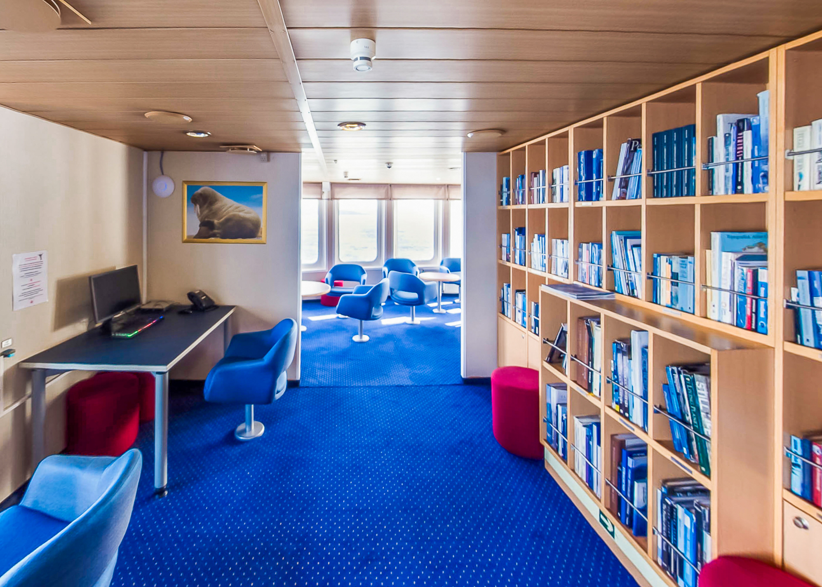
When the ship is underway, it is a wonderful time to join a naturalist on deck, take photos of the stunning scenery, or get caught up on some reading in the library.
Weather, ice, government regulations, and community requests may necessitate changes to the planned itineraries and/or the cancellation of certain shore excursions and enhancements. Published itineraries are examples only and we reserve the right to change or modify the itinerary and landing sites at any time prior or during an expedition. Changes will be communicated at your expedition orientation or during your onboard expedition briefings.
We know that everyone travels for different reasons. Over the years, however, we have found one common element among the guest who choose to travel with us – a thirst of knowledge and authentic experience. Knowing this drives us to ensure the highest quality learning experience on our trips, by taking time to carefully design each trip we offer.
Frequently Asked Questions
Ship Trip FAQs
Find answers to our Frequently Asked Questions regarding our Ship Trips, including information on our cancellation and refund policy, or how fit you need to be to go on an expedition cruise or sailing tour.
Ship & Deck Plan
Ship & Deck Plan: Ocean Nova
Ocean Nova
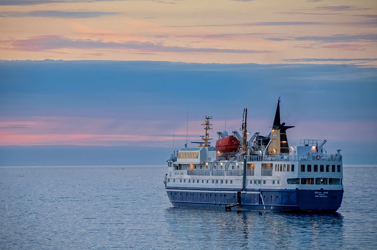
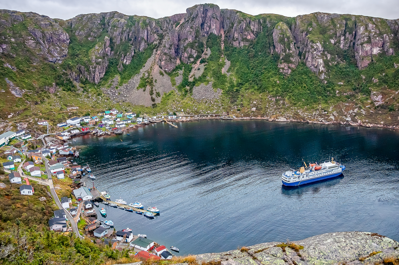
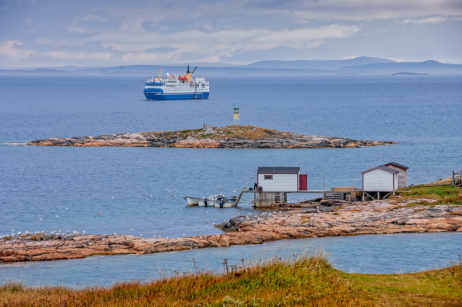
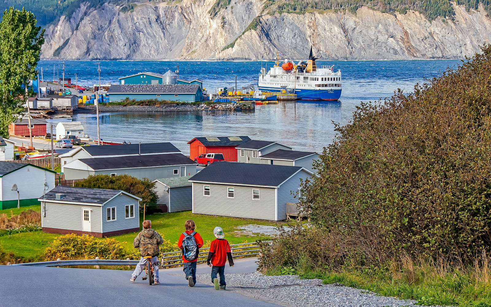
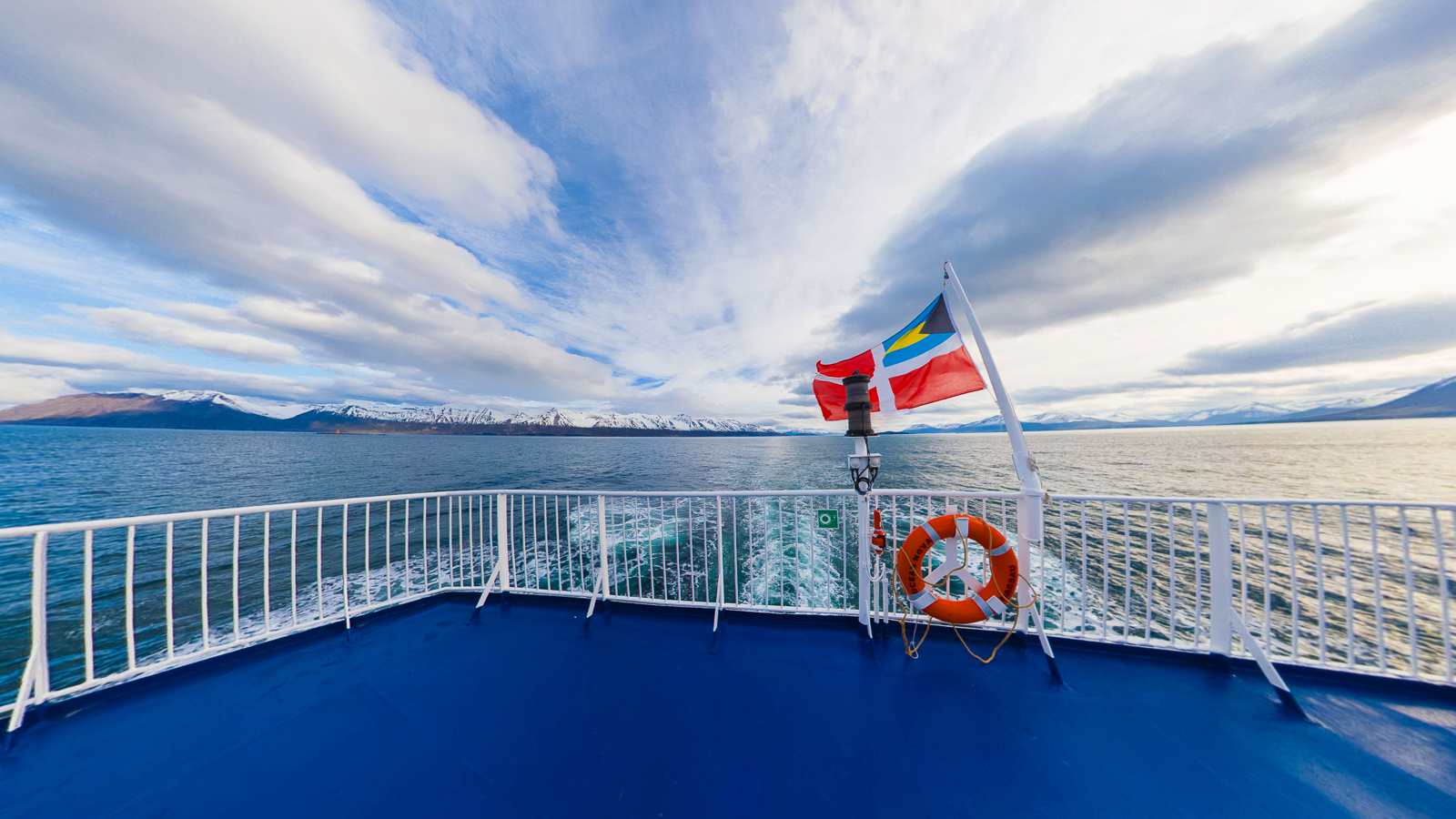
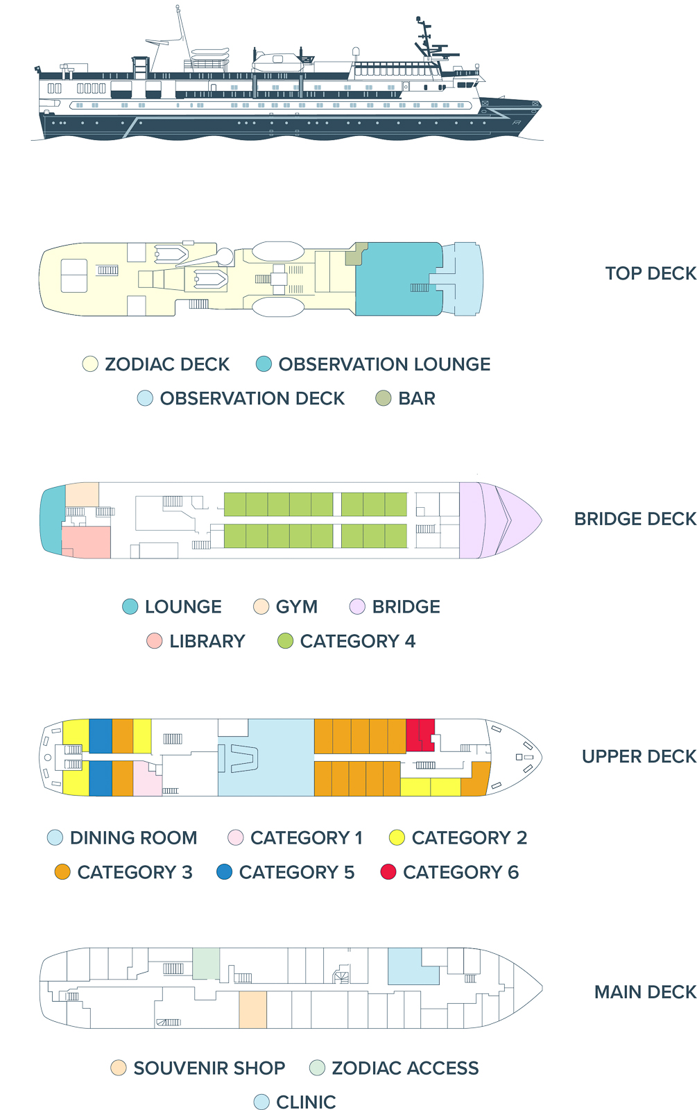
The Ocean Nova offers a classic expedition experience. Built in Denmark in 1992 for Greenland’s icy waters, this compact ship sails with a lighter carbon footprint than most expedition vessels.
Designed for intimate and immersive journeys, this nimble and sturdy ship accommodates just 75 guests. With the ship’s shallow draft and ability to anchor close to shore, you’ll spend less time ferrying and more time exploring.
Cosy cabins feature large windows for breathtaking views, while a glass-enclosed lounge offers sweeping 200-degree views—perfect for whale watching and seabird spotting. The open decks are a dream for photographers and scenery lovers. Meals feature open seating and ocean views, with globally inspired options to suit all tastes.
With one of the best guide-to-guest ratios, the Ocean Nova is perfect for those seeking an enriching experience.
Learn More
Deck Plan